National Weather Service Portland has issued a Special Weather Statement Sunday night for the Oregon Coast concerning isolated thunderstorms, significant rainfall and gusty conditions Monday and Tuesday.
With heavy rainfall (one inch) affecting the Pacific Northwest and southwest Washington Sunday, more is on the way as two cold fronts are moving across the region bringing the possibility for thunderstorms and more heavy showers Monday.
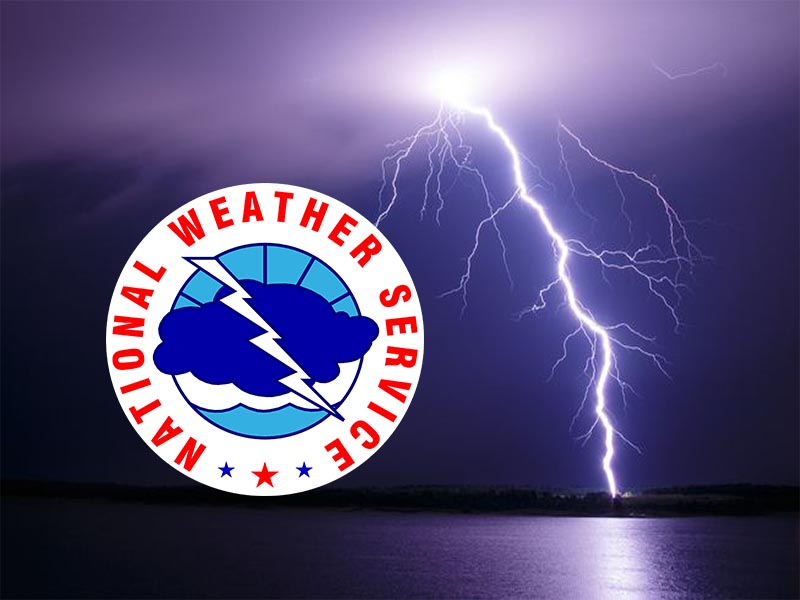
Thunder and lightning could be heard and seen in Lincoln City Monday morning around 3 a.m.
Calling it an “early season front” and “potent,” the NWS Special Statement states Tuesday will see gusty south winds along the coast and inland. Gusts could reach 50 mph along beaches and headlands, making this the first significant windy cold front of the season.
Those planning to spend time in the Cascades should be prepared
for an extended period of autumn-like weather that will last
through at least Wednesday. Snow levels are expected to lower to
6000-7000 feet with the passage of the cold front Tuesday and
Tuesday night. Even if it is not cold enough to snow, those in the
Cascades should be prepared for more cold, wet weather
through at least Wednesday.
For more information on this ongoing damp and chilly weather,
visit www.weather.gov/portland.
Special Weather Statement
Special Weather Statement…RESENT
National Weather Service Portland OR
948 PM PDT Sun Sep 15 2019
ORZ001>008-010>013-015-WAZ019>022-039-040-045-161700-
North Oregon Coast-Central Oregon Coast-
Coast Range of Northwest Oregon-
Central Coast Range of Western Oregon-Lower Columbia-
Greater Portland Metro Area-Central Willamette Valley-
South Willamette Valley-Northern Oregon Cascade Foothills-
Northern Oregon Cascades-Cascade Foothills in Lane County-
Cascades in Lane County-Western Columbia River Gorge-
South Washington Cascades-Willapa Hills-South Washington Coast-I-
5 Corridor in Cowlitz County-Greater Vancouver Area-
South Washington Cascade Foothills-
Including the cities of Astoria, Cannon Beach, Tillamook,
Netarts, Pacific City, Lincoln City, Newport, Cape Foulweather,
Yachats, Florence, Vernonia, Jewell, Sunset Summit, Lees Camp,
Trask, Grande Ronde, Burnt Woods, Tidewater, Swisshome, Veneta,
St. Helens, Clatskanie, Hillsboro, Portland, Wilsonville,
Oregon City, Gresham, Troutdale, Salem, McMinnville, Woodburn,
Stayton, Dallas, Eugene, Springfield, Corvallis, Albany, Lebanon,
Sandy, Estacada, Silver Falls State Park, Sweet Home,
Government Camp, Detroit, Santiam Pass, Vida, Jasper, Lowell,
Cottage Grove, McKenzie Pass, McKenzie Bridge, Oakridge,
Willamette Pass, Corbett, Rooster Rock, Multnomah Falls,
Cascade Locks, Coldwater Ridge Visitors Center, Mount St. Helens,
Wind River Valley, Willapa, Frances, Elk Mountain, Ryderwood,
Raymond, Long Beach, Ocean Park, Naselle, Cathlamet,
Cape Disappointment, Longview, Kelso, Castle Rock, Vancouver,
Battle Ground, Ridgefield, Washougal, Yacolt, Amboy, Toutle,
Ariel, Lake Merwin, Yale Lake, Cougar, North Bonneville,
and Stevenson
948 PM PDT Sun Sep 15 2019
…ANOTHER POTENT EARLY SEASON FRONT TO BRING MORE RAIN AND GUSTY
WINDS LATE MONDAY NIGHT INTO TUESDAY…
Significant rainfall affected southwest Washington and northwest
Oregon Sunday, as the first in a series of early season moved
across the region. Most locations received one-half to three-
quarters of an inch of rain, while coastal and higher terrain
locations locally received an inch or more.
After post-frontal showers and isolated thunderstorms Monday, the
next frontal system will be quick on its heels, spreading rain
onshore into southern Washington by sunrise Tuesday. This system
is expected to bring another round of significant rainfall to the
region Tuesday. Expected rainfall totals from the system Tuesday
appear to be similar, if not slightly higher than Sunday`s front.
Gusty south winds can be expected Tuesday, both along the coast
and inland. Gusts along the coast may approach 50 mph along the
beaches and headlands, making this the first significantly windy
cold front of the season. Inland areas, including the Willamette
Valley, may experience gusts as high as 35 mph Tuesday.
Those planning to spend time in the Cascades should be prepared
for an extended period of autumn-like weather that will last
through at least Wednesday. Snow levels are expected to lower to
6000 to 7000 feet with the passage of the cold front Tuesday and
Tuesday night. Even if it is not cold enough to snow, those in the
Cascades should be prepared for more cold, raw, wet weather
through at least Wednesday.
For more information on this ongoing damp and chilly weather,
visit our website at www.weather.gov/portland, or stay tuned to
your favorite source of weather information.