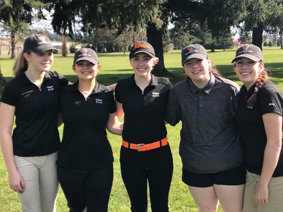
Friday, April 19, 2024
Home Blog Page 218

Facebook Privacy Hoax

0

By Justin Werner

You may have seen people posting something like this on Facebook:

facebook-hoax

I do not give Facebook or any entities associated with Facebook permission to use my pictures, information, messages or posts, both past and future. With this statement, I give notice to Facebook it is strictly forbidden to disclose, copy, distribute, or take any other action against me based on this profile and/or its contents. The content of this profile is private and confidential information. The violation of privacy can be punished by law (UCC 1-308- 1 1 308-103 and the Rome Statute). NOTE: Facebook is now a public entity. All members must post a note like this. If you prefer, you can copy and paste this version. If you do not publish a statement at least once it will be tactically allowing the use of your photos, as well as the information contained in the profile status updates. DO NOT SHARE. Copy and paste

This is a fake post and you should not fall for it.

Facebook does not claim ownership of pictures, according to its terms. It says all content and information posted is owned by the user.

From Facebook Terms Page:

Sharing Your Content and Information

You own all of the content and information you post on Facebook, and you can control how it is shared through your privacy and application settings. In addition:

  1. For content that is covered by intellectual property rights, like photos and videos (IP content), you specifically give us the following permission, subject to your privacyand application settings: you grant us a non-exclusive, transferable, sub-licensable, royalty-free, worldwide license to use any IP content that you post on or in connection with Facebook (IP License). This IP License ends when you delete your IP content or your account unless your content has been shared with others, and they have not deleted it.

If you ever see something that you think may be untrue you can always visit SNOPES.COM‘s website and they will shed the truth.

Oregon Revenue Grows Like a Weed

0

oregon makes bank off potAs of September 30, 2016, the Oregon Department of Revenue has received $40.2 million in marijuana tax payments. Medical marijuana dispensaries started collecting a 25-percent tax on their recreational marijuana sales in January.

With licensed retailers now selling recreational marijuana in some areas, consumers may see a lower tax rate on their receipts. “Retailers” are those selling recreational marijuana who have been licensed by the Oregon Liquor Control Commission (OLCC). Licensed retailers must charge a 17-percent tax on all recreational marijuana sales. Dispensaries must continue to charge the 25-percent tax rate until early-start provisions expire at the end of this year.

For dispensaries, third-quarter marijuana tax returns are due by October 31, 2016. Forms, instructions, and important information about filing and payment requirements are available at www.oregon.gov/dor/marijuana. If dispensaries or retailers need additional assistance, they can contact the Marijuana Tax Program at (503) 947-2597 or [email protected]

Why Forecasters Can’t Get It Right

0

Why were winds not as strong as forecast along the coast?

In an effort to improve our forecasting, meteorologists commonly reassess what happened after each weather event. This process becomes even more important when a forecast doesn’t work out the way we expect it to. The impacts were still quite significant, especially inland where deciduous trees still had full foliage. We received several dozen reports of trees down throughout the Portland metro area. Therefore, we are glad we issued a high wind warning for the north Willamette Valley. However, winds with this storm were significantly less along the coast than we were expecting. We will spend the next several weeks digging into the details of this storm, but for now, here is a quick look at our first assessment of why winds were not as strong as we expected, especially along the coast.

First, the strength of a low pressure center is directly proportional to the strength of the winds. Most forecast models, even this morning, had the low pressure center between 968 and 970 millibars off the Astoria coast this afternoon. While the models did a fairly good job with the track of the low, the strength of the low was not well forecast by models. The surface low west of Astoria this afternoon was around 978 millibars. This is 8 to 10 millibars less intense than forecast. This is VERY significant.

Second, an advanced scatterometer from satellite passed over our low pressure system at 10:45 AM PDT. This scatterometer shows the winds near the surface. What we saw left all of us here scratching our heads. There were 2 centers of circulation! In a typical low pressure center there is only one center of circulation and there were no forecast models forecasting this second low. When the energy is spread between 2 low pressure centers instead of one, the central pressure and winds associated with the system are typically significantly lower than they would be if it were one center of circulation.

Overall, our forecast wind speeds were pretty close (maybe 5 mph too low) in valley locations. Also, we are glad conditions were not as extreme as we were forecasting for the coast. This is better for everyone who may have been negatively impacted who now came through unscathed. However, when a forecast does not work out as expected, it is frustrating as a forecaster. Weather science and model forecasts are getting better every day, but this is just another reminder that Mother Nature will always keep a certain level of unpredictability. We will continue to research and improve our forecasts to provide the best forecast possible for the great people of northwest Oregon and southwest Washington.

Until the next big storm,

NWS Portland

Elijah Shott *FOUND* – Lincoln City Police

0

He was found on some rocks north of D Wayside. He’s okay and is now with his family.

———————————————————————————————–

Lincoln City Police are asking for public help in locating a mi

ssing and possibly endangered person, Elijah W. Shott.

elija-shottShott is 21 years old, 6-1, 160 pounds, blue eyes, and brown hair.

Shortly after midnight this morning Shott’s roommate found Shott at his residence on NE 19th Street in Lincoln City. Shott told the roommate he had injested drugs and then ran off. The roommate chased after him but lost sight of Shott. All of Shott’s clothing including underwear were found a short time later on NW 15th Street.

LCPD was not called until about 2:11AM and began a search of the area, however weather conditions and darkness have hindered the search.

Additional resources are being requested. The public is being asked to be on the lookout and report any sightings of this person immediately to the Lincoln City Police by calling 541-994-3636 or dialing 911.

elija-shott-2

Lincoln City Council Candidates Speak Out

Mayor Don Williams, James Scrutton, Doug Wheldon, and Jim Davis were at the Meet and Greet event hosted by Lil Sambos Restaurant recently and I had the opportunity to interview the candidates for city council.

Mayor Don Williams said workforce housing (also known as affordable housing) was the biggest problem the city faced and that the three candidates, with close to 100 years combined building, contracting, and developing experience, could solve the problem. He wants us to vote for these three builders for city council but who are they and why should we?

jim-davisJim Davis is running for City Council Ward 1. He is an experienced builder who has a commanding presence. His interview was to the point and he had some great ideas about how to actually solve the problem of affordable housing. Off camera in speaking with Jim Davis I found him to be highly intelligent. Imagine General George S. Patton commanding armies and you get the idea of Jim Davis commanding contractors. He has sat on the council before so some  political experience is there.

james-scruttonJames Scrutton is running for Ward 2. I enjoyed interviewing this guy. He’s easy to talk to and just an all-around good guy. James Scrutton is a great listener and genuinely cares about his community and neighbors. He has helped feed the homeless in numerous programs and if that wasn’t enough, he tries to talk to all of them and find out what their story is. He said he was ready to help the homeless in Lincoln City learn trades with new programs so they could rejoin society. Scrutton is also a retired contractor and he brings experience in all the different contracting trades.

voter-pamphlet-headshotDoug Wheldon is running for Ward 3. Wheldon went into great detail about what workforce housing is and ways the builders could create the much needed housing for people in Lincoln City. He seemed to know an enormous amount of information on the subject and I was impressed. I learned a thing or two from him. What I really liked about Doug Wheldon was how he presented himself. Something about his body language made me feel comfortable. He was a good listener and really knows everything about construction. He also showed a glimpse of his political strength by how he answered my questions from an average Lincoln City citizen standpoint.

Talking to these three men made me excited for Lincoln City. If they do get elected I have no doubt in my mind that they will tackle the problem of affordable housing and the city will benefit greatly when the dust settles.

Goodbye Hat – Storm Footage

0

Footage of the storm we were all expecting. The wind decided to take my hat during my newscast. I loved that hat 🙁

Storm Watch – Depoe Bay Part 2

0

Went to Depoe Bay to see the action and it was twice as bad. Rough seas and stronger wind gusts.

Buoy Watch

0

Saw a buoy struggling in the ocean and decided to video its plight.

NWS HIGH WIND WARNING LOWERED

0

New National Weather Service alert lowers the predicted wind gusts.

Timing of peak winds was also bumped up to 10am – 3pm.

CENTRAL OREGON COAST-CENTRAL COAST RANGE OF WESTERN OREGON-
INCLUDING THE CITIES OF…LINCOLN CITY…NEWPORT…FLORENCE…
VENETA
430 AM PDT SAT OCT 15 2016

…HIGH WIND WARNING FOR THE CENTRAL OREGON COAST AND THE CENTRAL
COAST RANGE OF OREGON IS NOW IN EFFECT FROM 8 AM THIS MORNING TO
5 PM PDT THIS AFTERNOON…

THE HIGH WIND WARNING IS NOW IN EFFECT FROM 8 AM THIS MORNING TO
5 PM PDT THIS AFTERNOON.

* SOUTHERLY WINDS WILL RAPIDLY INCREASE SATURDAY MORNING.

* BEACHES AND HEADLANDS: SOUTH WINDS 40 TO 50 MPH WITH GUSTS TO 75
MPH.

* COASTAL COMMUNITIES AND SHELTERED AREAS: SOUTH WINDS 25 TO 35
MPH WITH GUSTS 50 TO 60 MPH.

* HIGHER TERRAIN OF THE COAST RANGE: SOUTH WINDS 40 TO 50 MPH WITH
GUSTS TO 75 MPH.

* TIMING OF PEAK WINDS: BETWEEN 10 AM AND 3 PM.

* IMPACTS: BROKEN AND DOWNED TREE LIMBS COULD GET ENTANGLED
WITH POWER LINES…CREATING POWER OUTAGES. ANY TREE DEBRIS
ON ROADS MAY HINDER TRAVEL. ALSO…TREES COULD BE TOPPLED…
ESPECIALLY SHALLOW ROOTED TREES AND TREES THAT IN HIGHLY
EXPOSED LOCATIONS.

PRECAUTIONARY/PREPAREDNESS ACTIONS…

A HIGH WIND WARNING MEANS A HAZARDOUS HIGH WIND EVENT IS EXPECTED
OR OCCURRING. SUSTAINED WIND SPEEDS OF AT LEAST 40 MPH OR GUSTS
OF 58 MPH OR MORE CAN LEAD TO PROPERTY DAMAGE.

Before a High Wind Event

0
  • Trim tree branches away from your house and power lines.
  • Secure loose gutters and shutters.
  • Identify an interior room of your house, such as a basement or interior bathroom, that you can take shelter in during high wind warnings.
  • If you live in a mobile home, identify a sturdy building you can go to if NWS issues a high wind or severe thunderstorm warning.
  • Update your emergency kit and be sure to include enough food and water to last for 3 days for each person in your home.
  • Make a list of items outside your home you will need to tie down or put away so that they don’t blow away or fly through a window. When NWS issues a high wind or severe thunderstorm watch, immediately secure these items to avoid damage or injury once the wind starts picking up.

Never drive around barricades into flood waters! More than 50% of all flood fatalities are vehicle-related. It only takes 12 inches of water to carry off a small car and 18 inches of water to sweep a larger vehicle away. Turn Around Don’t Drown!tadd.weather.gov #FloodSafety

header